Choosing The Right 3D Scanning Tool: LiDAR, Thermography, or UAV
Authored by Mike Marun, Associate AIA
NKB leverages advanced scanning and sensing tools to enhance accuracy, mitigate risk, and inform critical decisions at the earliest stages of design. Because our projects often involve complex conditions and tight construction budgets, we rely on technologies that reveal concealed elements, capture existing conditions with high fidelity, and support the selection of the most efficient and cost‑effective design strategies.
LiDAR, thermography, and UAV (drone) scanning are the leading technologies shaping the industry today, and NKB is skilled in deploying each of them. Each tool is powerful in the right context, but only a combined, strategic approach ensures comprehensive solutions.
Selecting the right technology depends on project goals, building conditions, and the type of data required.
The following sections outline what each tool does best, where its limitations lie, and how to determine the most appropriate technology for your project.
MATCHING THE TOOL TO THE CHALLENGE
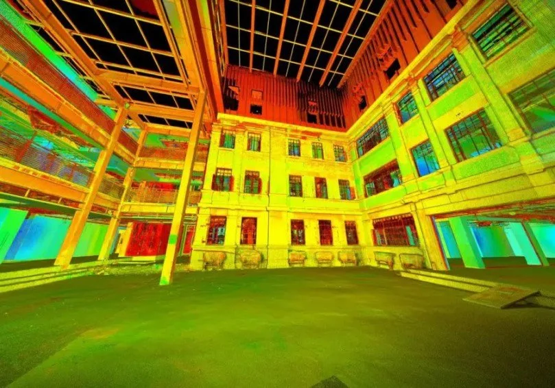
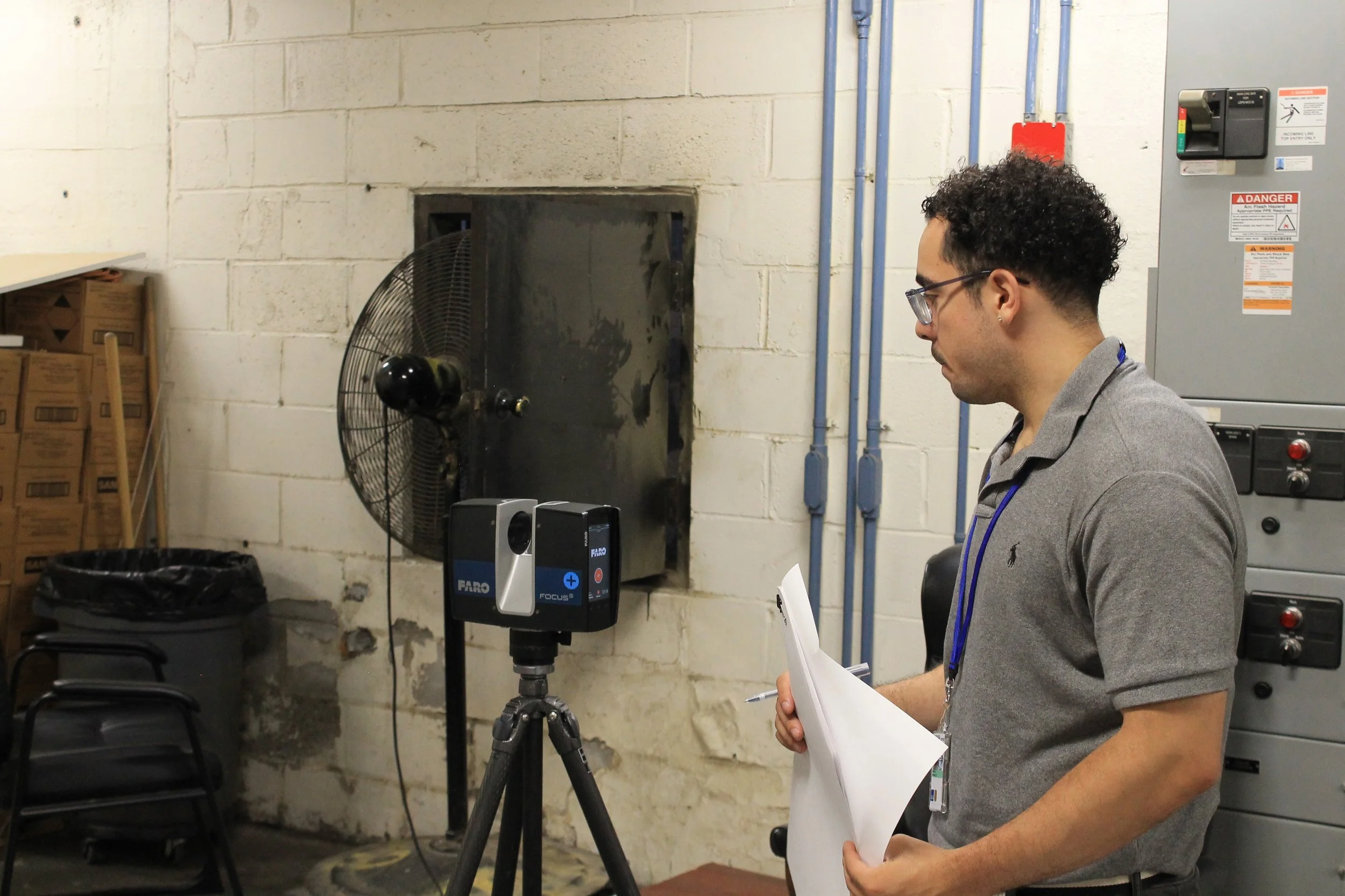
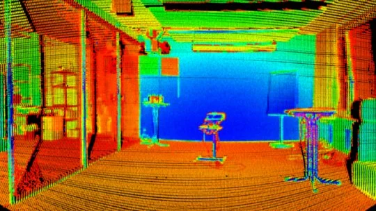
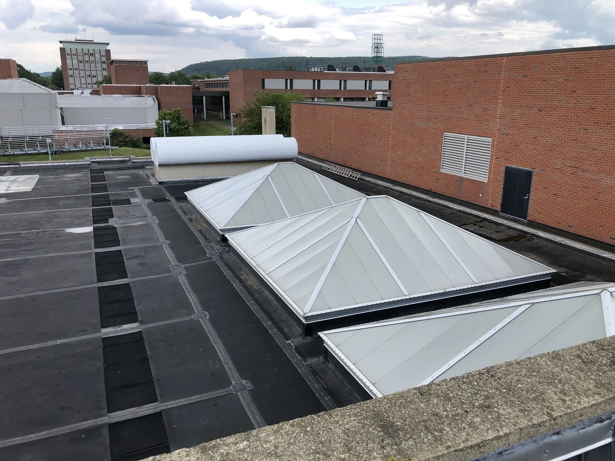
LiDAR: When Precision and Geometry Matter Most
What is it?
LiDAR (Light Detection and Ranging) uses laser pulses to capture millions of spatial data points, creating a highly accurate three-dimensional representation of a structure or site. It is commonly deployed via terrestrial scanners or mobile platforms.
Best Uses in Architecture
As-built documentation for renovations or adaptive reuse
Historic preservation, where precision is critical
Complex interiors with irregular geometry
BIM creation and clash detection
Projects where millimeter-level accuracy is needed
Key Advantages
Extremely high spatial accuracy
Captures complex geometries reliably
Produces dense, measurable point clouds
Works well in low-light interior conditions
Limitations
Specialist operation
Data-heavy files require post-processing expertise
Line-of-sight limitations (hidden or occluded areas may need multiple scans)
Bottom line: Choose LiDAR when geometric accuracy and dimensional confidence are critical.
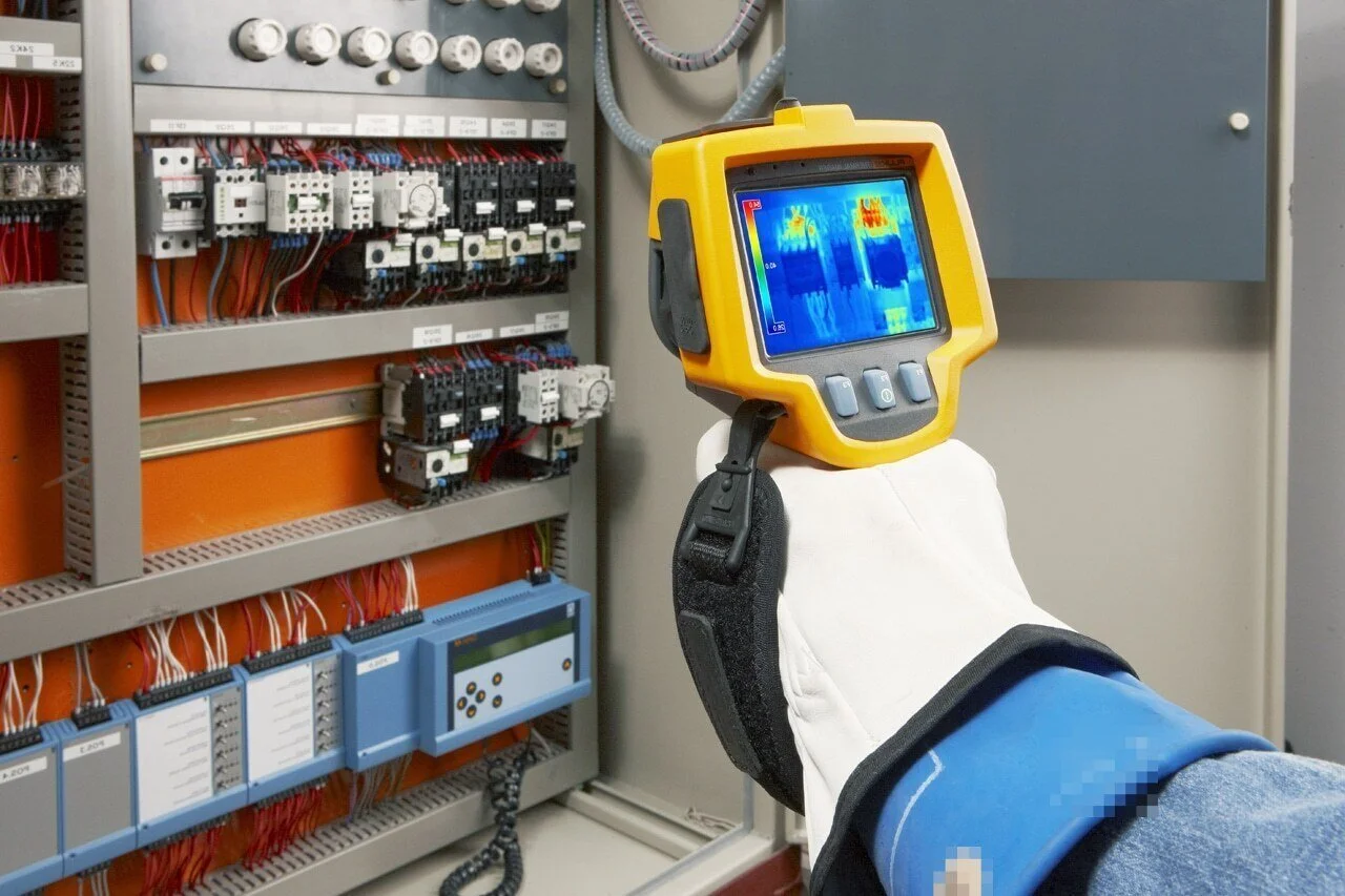
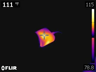
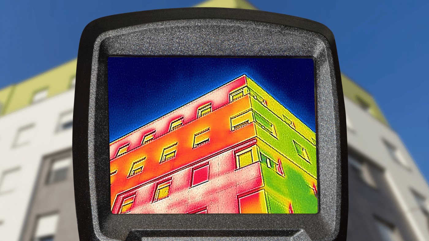
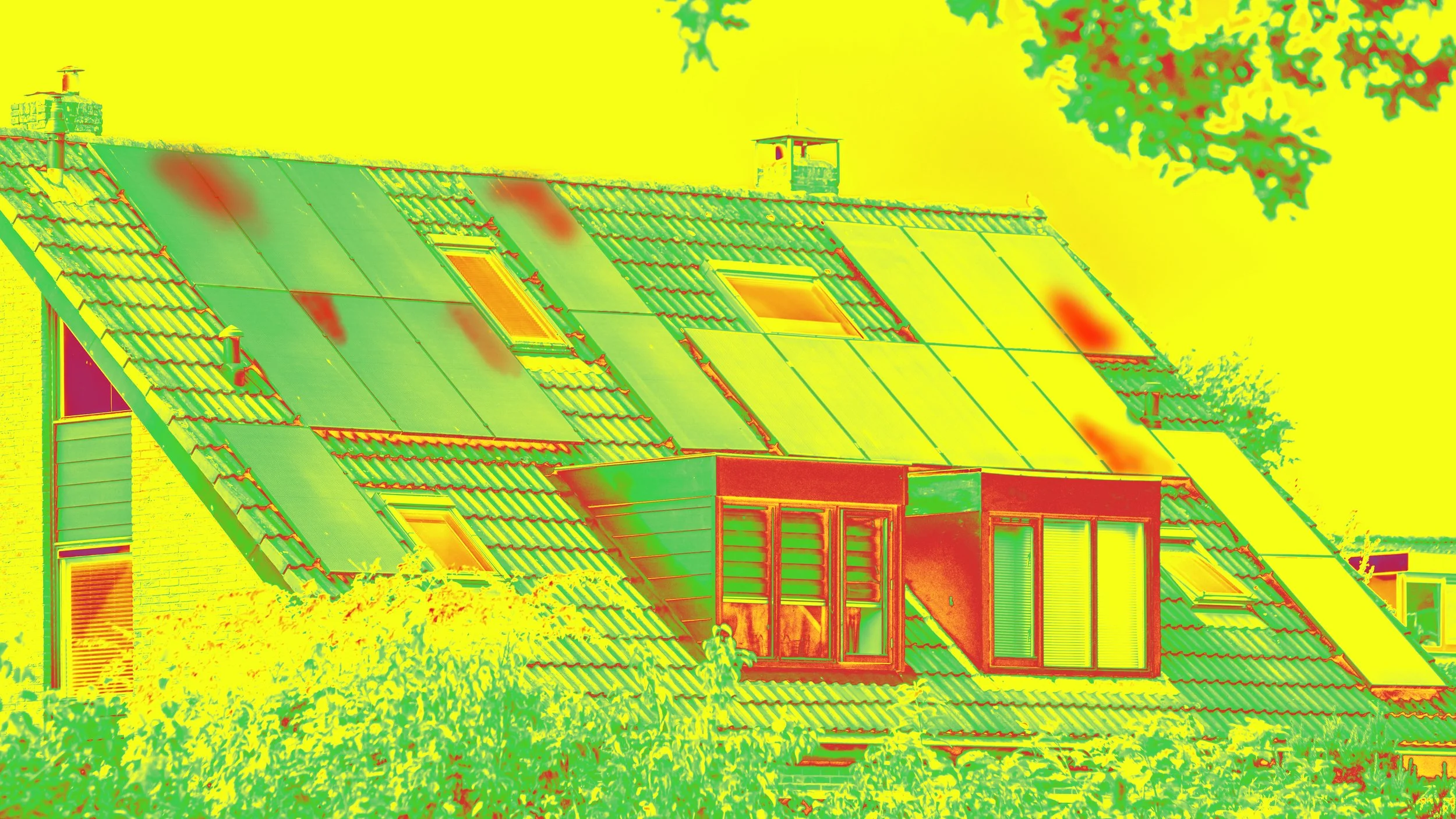
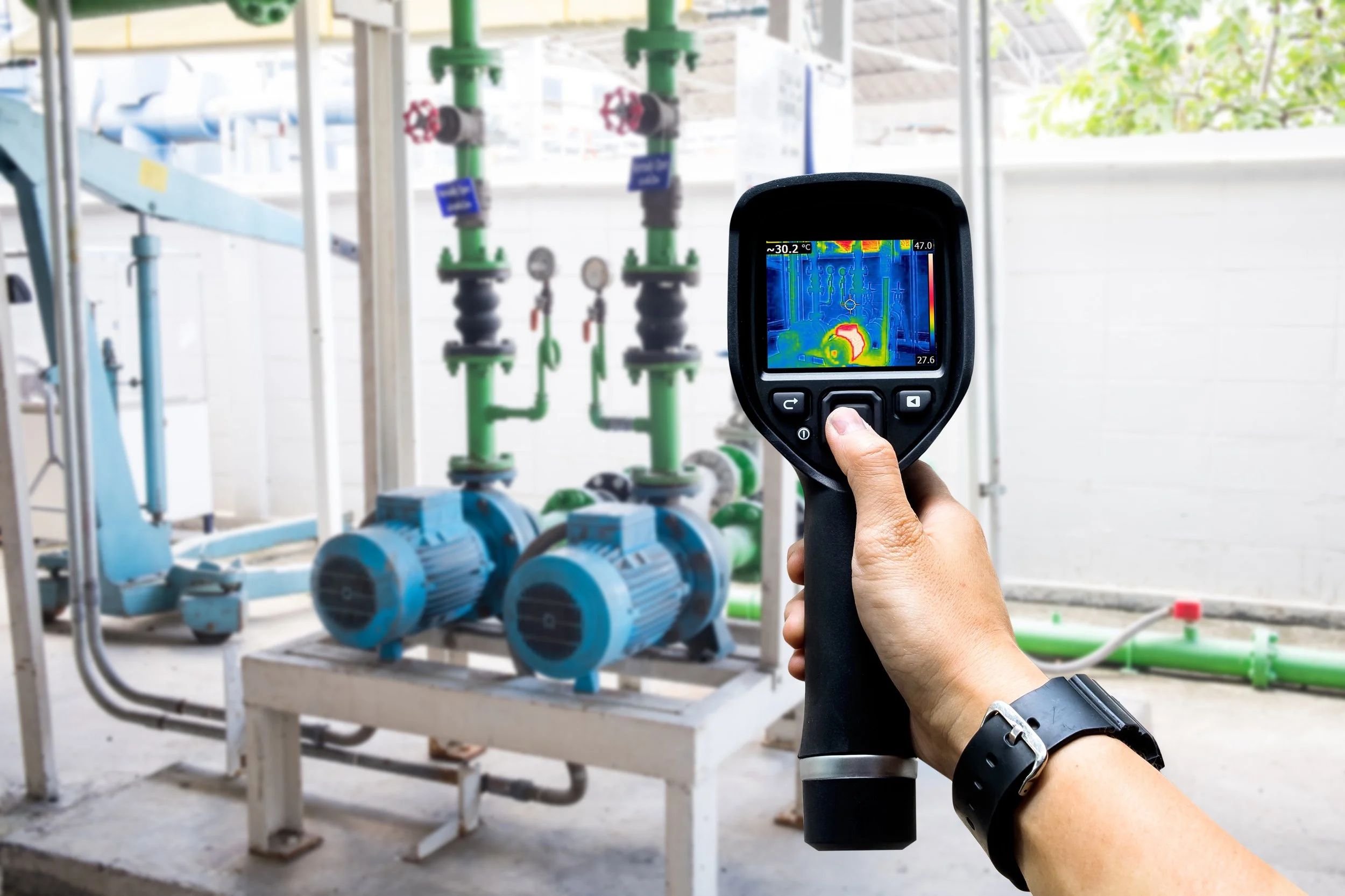
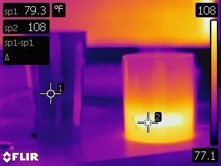
THERMOGRAPHY: Seeing What the Eye Cannot See
What is it?
Thermography uses infrared cameras to detect temperature differences on surfaces. Instead of geometry, it reveals performance conditions related to how heat moves through a building envelope.
Best Uses in Architecture
Energy audits and envelope assessments
Detecting insulation gaps or thermal bridging
Locating moisture intrusion or hidden leaks
Finding HVAC inefficiencies
Post-construction performance verification
Key Advantages
Non-invasive and quick to deploy
Highlights latent issues invisible to visual inspections
Ideal for sustainability and retrofit projects
Useful for occupant comfort evaluations
Limitations
Does not produce spatial or dimensional data
Results are sensitive to environmental conditions
Results require interpretation by trained professionals
Often used as a diagnostic companion, not a standalone tool
Bottom line: Choose thermography when you need to diagnose building performance challenges, not measure precise dimensions or quantities.
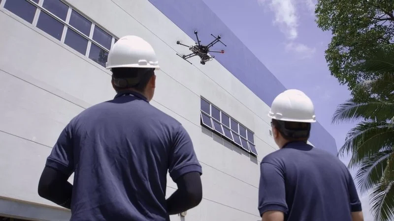
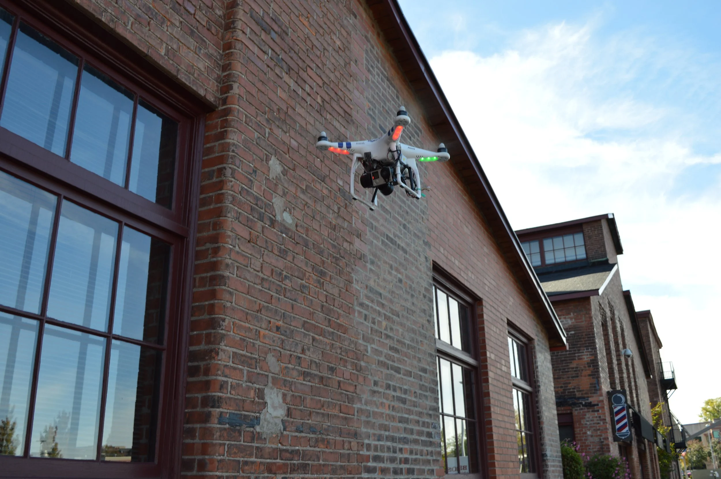
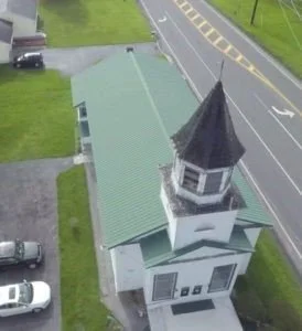
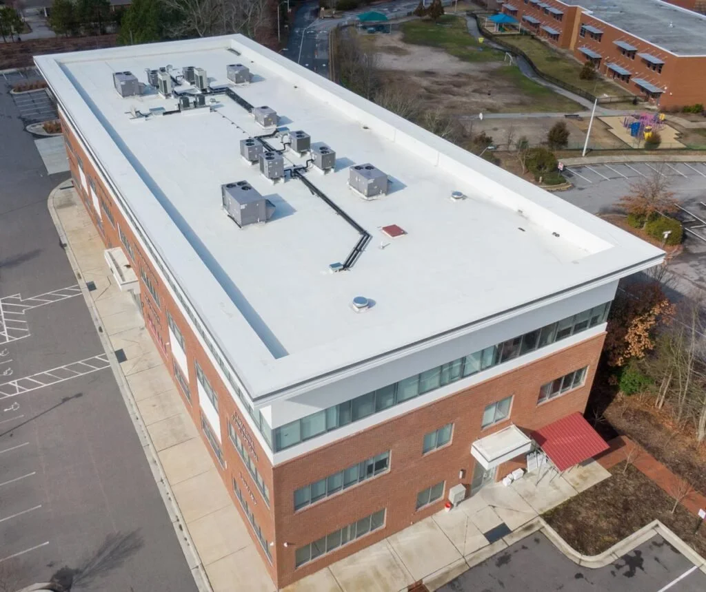
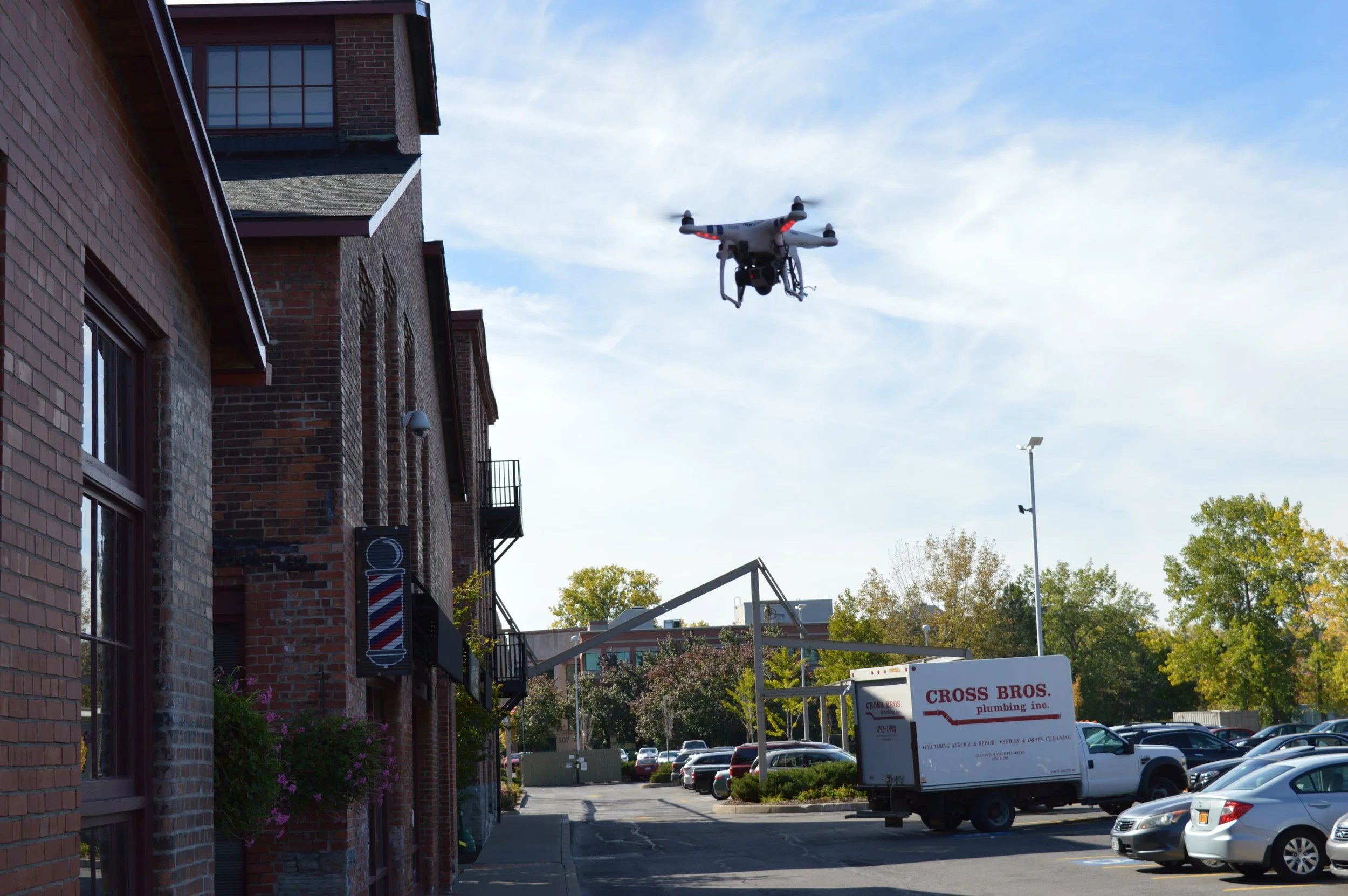
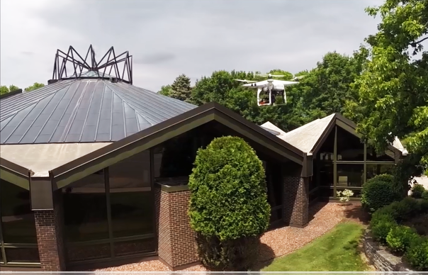
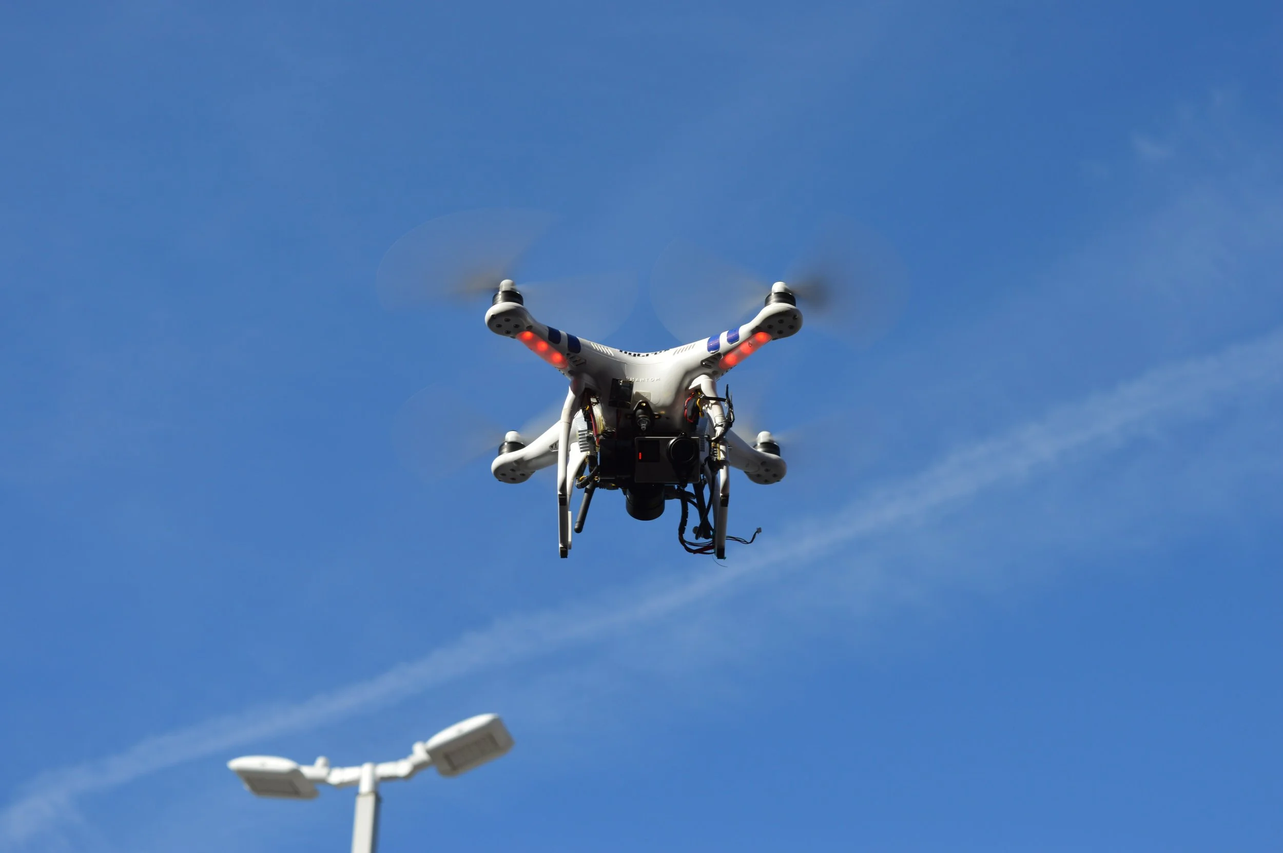
UAV (DRONE) SCANNING: When You Need Access, Speed, and Perspective
What is it?
Unmanned Aerial Vehicles (UAVs) equipped with photogrammetry or LiDAR sensors capture aerial imagery and spatial data from above and around a structure.
Best Uses in Architecture
Roof and façade inspections
Large or inaccessible sites
Urban context and surrounding conditions
Construction progress documentation
Preliminary site analysis and massing studies
Key Advantages
Access to hard-to-reach or unsafe areas
Faster data collection over large areas
Cost-effective for exterior surveys
Can combine visual imagery with spatial data
Limitations
Regulatory constraints (airspace, permits)
Weather-dependent
Lower interior accuracy
Requires skilled piloting and data processing
Bottom line: Choose UAV scanning when reach, safety, and coverage are more important than interior detail.
THE SMARTEST APPROACH
Ask the following questions before selecting a scanning method or a combination of scanning methods. Answering these questions upfront ensures the technology serves the design intent, not the other way around.
What decisions will this data support? Geometry, performance, safety, or documentation?
Is the building occupied or operational? Non-invasive tools may be needed.
What level of accuracy is necessary? Conceptual design vs. construction documentation.
Will this data flow into BIM workflows? Is access limited or hazardous?
For many projects, the right answer is not one tool – it is a combination. Using multiple data sources creates a more holistic understanding of both form and performance, reducing surprises later in the project schedule.
The following is a side-by-side comparison:
Project Need Best Tool
Dimensional Accuracy & BIM LiDAR
Energy Modeling Thermography + LiDAR
Roof / Facade Performance UAV + Thermography
Renovations & As-Builts LiDAR + UAV
Sustainability Assessments Thermography
Large or Unsafe Sites UAV
Scanning technologies are no longer niche tools; they are essential components of modern architectural practice. Understanding the strengths and limitations of LiDAR, thermography, and UAV scanning allows NKB to deploy them strategically, saving time, reducing risk, and improving design outcomes for our clients.
The right tool is the one that delivers the right information at the right stage of the project.